
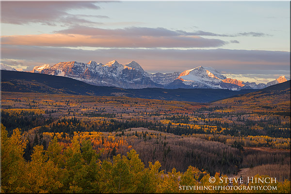
When photographing mountain landscapes I like to be able to identify the peaks I’m including in the image. I do use an app which helps, if I remember to use it at the time I’m photographing, though it’s not always reliable or accurate. And while I’ve photograph this scene many times over the years, I’ve never accurately identified the peaks, until this year. The mountains are a fair distance away and I shot this at 100mm to draw the scene in together and it was the distance that caused me to have trouble in the identification process. I looked at some maps and eventually Google Maps but it was using Google Earth that finally clicked on the light bulb as I was able to see the vertical rise and shapes. From left to right, the long ridge in the foreground is Wynn Mountain while the tallest peak near the middle is Mount Siyeh. At 10,019, it’s the fifth tallest peak in Glacier National Park and one of only six mountains in the park that top out over 10,000 feet. The next peak to the right of Mount Siyeh is Allen Mountain. Between Allen Mountain and Mount Siyeh is a glacial valley where Cracker Lake is located. I hiked there a few years ago and recognize the ridge between the two peaks from many of my photos.

Magnificent!
LikeLike
Thank you!
LikeLiked by 1 person